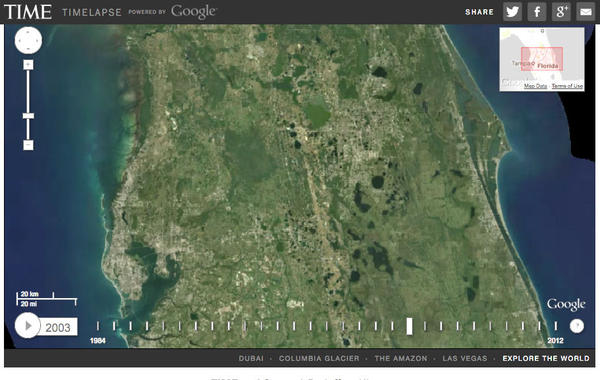
According to Google, Timelapse now has imagery of the Earth’s changes from 1984 to 2016. It’s technology was also given “petabytes of new data, which includes new, sharper images.

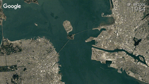
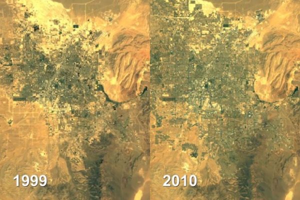
The imagery offered on Google’s Timelapse page gives us quite an insight on how the various processes of deforestation, glacial motion, urbanization, and war has changed the shape of our planet. While you can peruse any part of the world, Google offers a curated selection of interesting locations and events that have experienced or have caused relatively massive changes. The list includes the reconstruction of the Oakland Bay Bridge in San Francisco, and even the movement of the Hourihan Glacier in Antarctica. As you examine the different locations, you can see how they’ve change over time. The imagery however, might not be the same quality everywhere.


